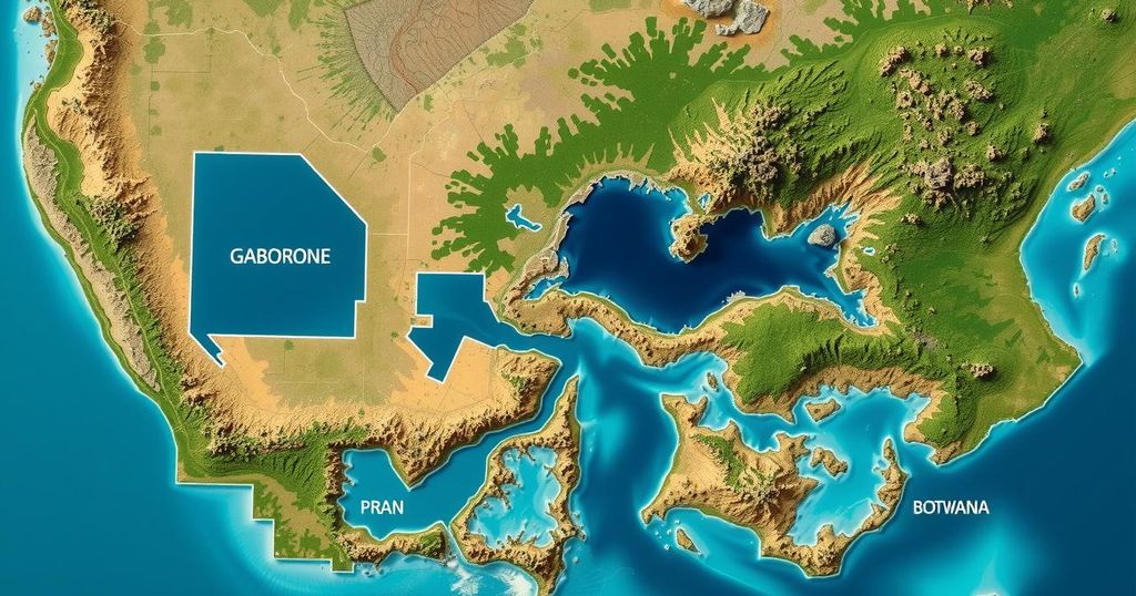
As of 4 March 2025, satellite imagery indicates that approximately 7 km² of Gaborone, South East, and Kgatleng Districts, Botswana, remains affected by floodwaters, down from 23 km² since late February. This analysis is preliminary and requires field validation.
On 4 March 2025, a satellite analysis revealed the extent of water coverage in Gaborone, South East District, and Kgatleng District, Botswana. Utilizing data from multiple satellite resources, including Sentinel-2, PlanetScope, and Kanopus-V, researchers identified a total affected area of approximately 7 km² within an analyzed region of about 700 km². Additionally, it was reported that floodwaters have reduced by approximately 23 km² since the earlier observations on 23 and 25 February 2025.
This report represents a preliminary analysis and has not been subject to field validation. The United Nations Satellite Centre (UNOSAT) encourages individuals in the area to provide ground feedback to support further evaluations and confirmations of this data.
The satellite analysis from 4 March 2025 reveals that Gaborone and its neighboring districts have experienced significant flooding, with an estimated 7 km² still inundated. Notably, there has been a reduction of floodwaters by 23 km² since the previous reports in late February. Validation of this preliminary data through ground feedback is essential for accurate assessments.
Original Source: reliefweb.int